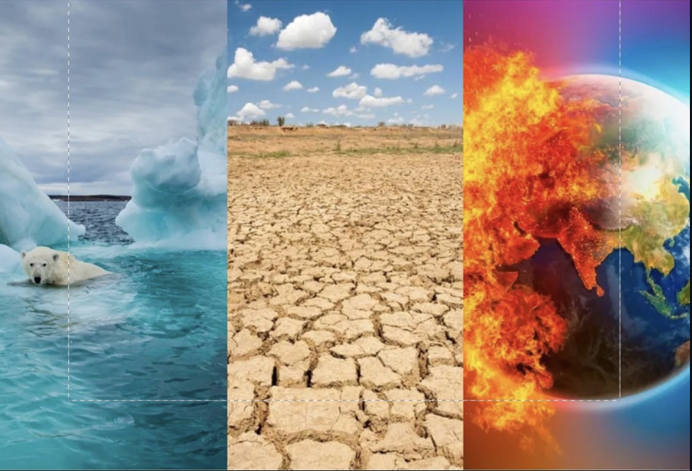
In 1997-98, a major El Niño in the Pacific Ocean drove global temperatures to new highs and produced a wave of extreme weather across the globe, resulting in $35 billion in damage and 23,000 deaths. The last one we’ve seen was in 2019 and mild. Now a big one is looming over us.
An El Niño is a complex weather phenomenon that occurs irregularly in the eastern tropical Pacific Ocean every two to seven years. When the trade winds that typically blow from east to west in this region weaken, sea surface temperatures in the east and central tropical Pacific start rising.
A strong El Niño, in combination with global warming, can push global surface temperatures to new highs. It can bring heavier rain to South America and serious drought to Australia. But the effects aren’t always negative: a strong El Niño can also bring much needed rain to California, for example.
How do El Niños happen?
Normal conditions in the Pacific Ocean
Sea levels are about half a meter higher in Indonesia than they are in South America. Sea surface temperatures near Indonesia are also about 8°C (14.4°F) warmer than they are near Peru. That temperature difference creates a convective loop. In 9th grade physics, we learn that heat can be transferred by a movement of a heated fluid (air). The transfer is always from a hotter region to a cooler one.
Because the Pacific Ocean is so massive, this system is a major driving force in the global climate. The large warm pool of water near Indonesia causes the air above it to rise, creating rainfall. And this system shapes the jet streams that guide weather and storms around the world.
This might be really confusing. So in short, winds blow hot water from South America to Indonesia. That hot water causes air above Indonesia to rise and guide the streams of air that distribute heat throughout the world.
El Niño conditions in the Pacific Ocean
Those prevailing Pacific trade winds can get disrupted every few years. When that happens, all that warm water that was piled up near Indonesia starts flowing back toward the east. That means there’s less cold water rising up from the deep ocean near South America — so the waters near Peru start warming up.
This causes sea surface temperatures in the east and central Pacific to start rising and the winds to weaken further. What’s more, rainfall starts following that warm pool of water as it travels eastward. That’s why El Niño is usually associated with drier weather in places like Indonesia and Australia, as well as heavier rains in places like Peru.
A big El Niño is looming
El Niño typically picks up over the summer and shows its strongest effects over the winter in the Northern Hemisphere. Right now, forecasts drawing on ocean buoys, sensors, satellite measurements, and computer models show that a strong one is brewing as the eastern Pacific Ocean steadily warms up just below its surface.
The other big factor is that the planet itself is heating up. El Niño is part of a natural cycle. Human activity is amplifying some aspects of it, but not always in a straightforward way. Exactly how that extra heat is distributed across the ocean and the atmosphere will alter which regions see more rain, which ones will suffer drought, and where the biggest storms will land.
And while the rising El Niño this year will eventually cycle back to its cool phase, it won’t be enough to offset humanity’s consumption of fossil fuels. What really matters from the long-term point of view is this relentless rise in greenhouse gas concentrations. We cannot escape that there will be continued warming because of that.
While El Niño can push some disasters to greater extremes, tools like early warnings, disaster shelters, evacuations, and climate-resilient buildings, or development of new carbon-capture technology can keep the human toll in check. It’s going to be a hot summer, but it doesn’t necessarily have to be a deadly one.
Source:

Leave a Reply